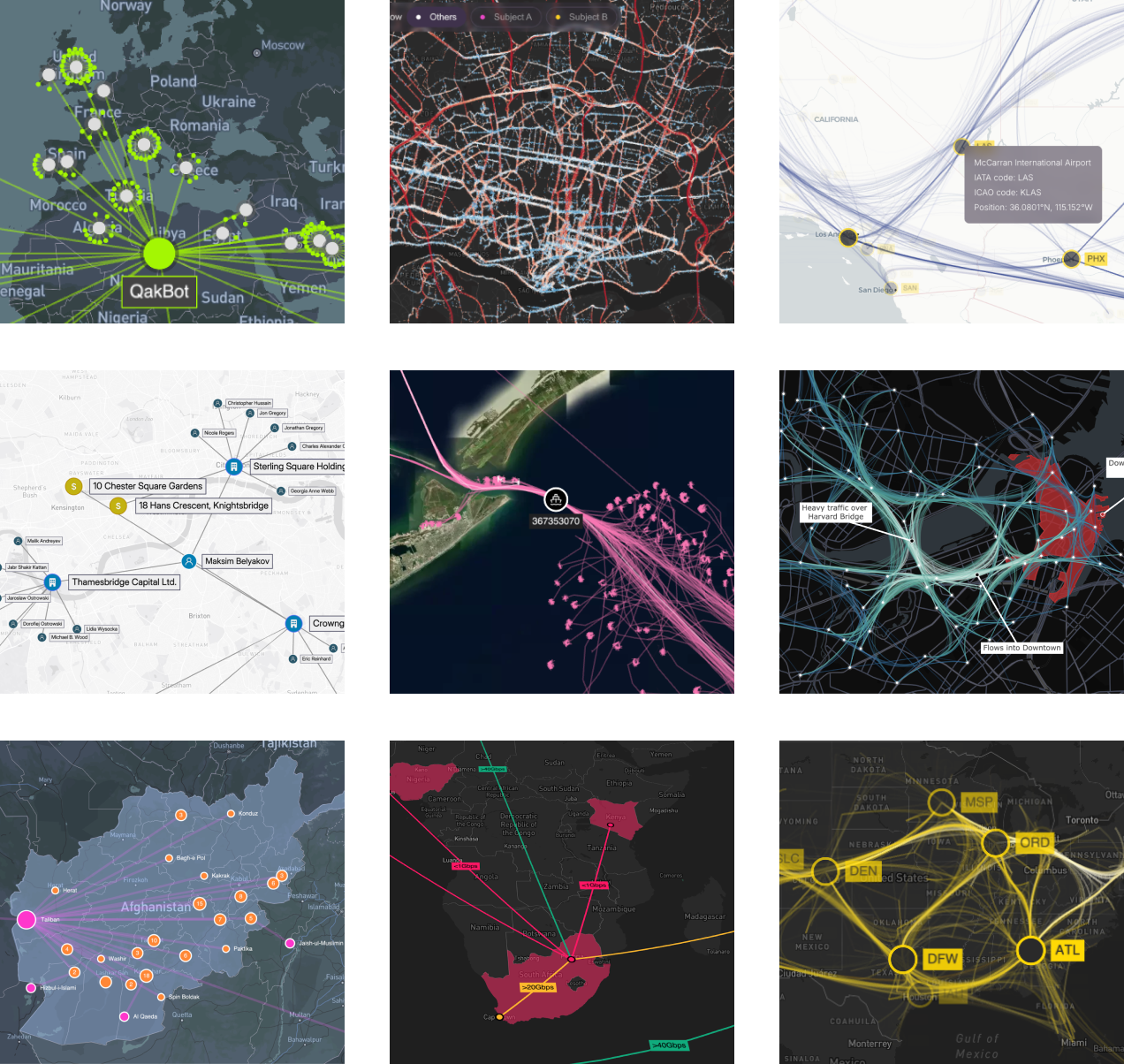
1.0
We're excited to announce the first General Availability release of MapWeave! If you participated in our Early Access Program, thank you - it was incredibly helpful to have so many of you taking part and providing valuable feedback.
MapWeave is still evolving and improving fast, but the API is now stable and supported.

New Features
- Our geospatial graph layout, which determines the positions of free nodes in the network layer, has been significantly improved for Version 1.0. You'll see big improvements to performance, and better visual results for networks with long chains or clusters of free nodes.
Breaking Changes
In order to reach a stable API for version 1.0, we've made some breaking changes in the following areas:
- MapWeave now has much stricter validation of inputs. Descriptive errors will be thrown if inputs violate these validation rules.
- The interaction event handling API has been comprehensively revised. Please check the Interaction examples and the API reference to ensure you're using the latest stable events API.
- The
BasemapLayerhas been renamed toTileLayerto better reflect its purpose. - Some redundant APIs and type definitions have been removed from the public API.
Known Issues
All known issues were fixed in 1.1 release.
- Dragging nodes to negative longitudes incorrectly fails validation.
- The underlying MapLibre/Mapbox instances are currently not exposed via the React API.
- Setting specific view bounds is currently not possible when using the standalone adapter.
- Layer content currently disappears if the MapWeave app is moved between retina and non-retina displays. Refresh the page to bring it back.
What's Next?
As well as various fixes and documentation improvements, some of our top priorities for upcoming releases include:
- More code examples, including the 'now line' from some of our time-dependent showcases.
- A site search and a more readable API reference.
- A more flexible and powerful styling API to better support user interactions such as hover and selection states.
- More showcases to illustrate how to use MapWeave alongside our other libraries.
- A library of geospatial helper functions such as identifying when an item is within the bounds of a polygon, or detecting co-location or convoy behaviour in an observations dataset.
- Alternative visualizations to summarize the observations layer.
As always, if you'd like to see something in the toolkit, do let us know at [email protected].