
Latest Release

Request a trialOctober 3, 2025

The download contains a package.json file referencing external dependencies as well as a pre-built set of bundled dependencies. See the dependencies page for more information.

Get started with building your application:


Release Notes

1.4

Features

  • Rounded corners are available for link and node labels and are set as default.
Useful APIs
  • The MapWeave site is optimized to be mobile friendly, including login, docs and API pages. Showcases, playgrounds and examples are still better viewed on larger screens.

Bugs Fixed

  • A ViewChangeEvent definition has been added to the API.

1.3

Features

  • We have a new Pattern of Life showcase showing how MapWeave and KronoGraph can be used together for powerful time and space analysis. Explore how such an integration might be built with the Filter using KronoGraph example.

Bugs Fixed

  • Adaptive scaling is now correctly applied to combo nodes in the network layer.
  • Observations layer data now reloads correctly when using a subset of the original data.
  • MapWeave now accepts negative altitudes.

1.2.1

  • In React, the Mapbox ref prop and the MapLibre ref prop are now optional.

1.2

Features

  • Our geospatial graph layout now automatically separates free nodes, reducing the chance of overlaps and showing a clearer view of the network.

Bugs Fixed

  • Resolved a memory leak when auto-generating ids in the GeoJSON layer.
  • Trajectories no longer obtrude beyond individual observations when there is a sharp angle.

1.1

Bugs Fixed

  • Layer content stays visible when the MapWeave app is moved between retina and non-retina displays.
  • The MapLibre/Mapbox instances are now correctly exposed via the React API.
  • Events always return longitude values in the range [-180,180] when the map is wrapped.
  • Tracker nodes no longer detach from their trajectories when zooming while proximityCombine is enabled.
  • The standalone adapter now sets view bounds correctly.

1.0.1

  • Tracker nodes no longer cause an exception in the network layer when their visibility changes.

1.0

We're excited to announce the first General Availability release of MapWeave! If you participated in our Early Access Program, thank you - it was incredibly helpful to have so many of you taking part and providing valuable feedback.

MapWeave is still evolving and improving fast, but the API is now stable and supported.

MapWeave 1.0

New Features

  • Our geospatial graph layout, which determines the positions of free nodes in the network layer, has been significantly improved for Version 1.0. You'll see big improvements to performance, and better visual results for networks with long chains or clusters of free nodes.

Breaking Changes

In order to reach a stable API for version 1.0, we've made some breaking changes in the following areas:

  • MapWeave now has much stricter validation of inputs. Descriptive errors will be thrown if inputs violate these validation rules.
  • The interaction event handling API has been comprehensively revised. Please check the Interaction examples and the API reference to ensure you're using the latest stable events API.
  • The BasemapLayer has been renamed to TileLayer to better reflect its purpose.
  • Some redundant APIs and type definitions have been removed from the public API.

Known Issues

All known issues were fixed in 1.1 release.

  • Dragging nodes to negative longitudes incorrectly fails validation.
  • The underlying MapLibre/Mapbox instances are currently not exposed via the React API.
  • Setting specific view bounds is currently not possible when using the standalone adapter.
  • Layer content currently disappears if the MapWeave app is moved between retina and non-retina displays. Refresh the page to bring it back.

What's Next?

As well as various fixes and documentation improvements, some of our top priorities for upcoming releases include:

  • More code examples, including the 'now line' from some of our time-dependent showcases.
  • A site search and a more readable API reference.
  • A more flexible and powerful styling API to better support user interactions such as hover and selection states.
  • More showcases to illustrate how to use MapWeave alongside our other libraries.
  • A library of geospatial helper functions such as identifying when an item is within the bounds of a polygon, or detecting co-location or convoy behaviour in an observations dataset.
  • Alternative visualizations to summarize the observations layer.

As always, if you'd like to see something in the toolkit, do let us know at [email protected].


0.9

Features

  • Improved the design and structure of API Reference.
  • Added various documentation pages.

Bugs Fixed

  • Tracker nodes no longer detach from their trajectories when proximityCombine is enabled.
  • Visualizing data containing entities with no observations no longer causes issues.

0.8

Features

  • MapWeave now supports all Unicode characters.
  • Improved SDK site performance.

Bugs Fixed

  • Smoother zooming when proximityCombine is enabled.
  • Proximity combining works correctly at maximum zoom out.
  • Pointer events now return the correct latitude and longitude position.

0.7

Welcome to the first early access release of MapWeave, the SDK that allows you to unite geospatial, network and timeline insights in one interactive visualization. We really appreciate your time and feedback during the early access program, and can't wait to hear about what you're building with MapWeave and how we can improve it for you.

MapWeave 0.7

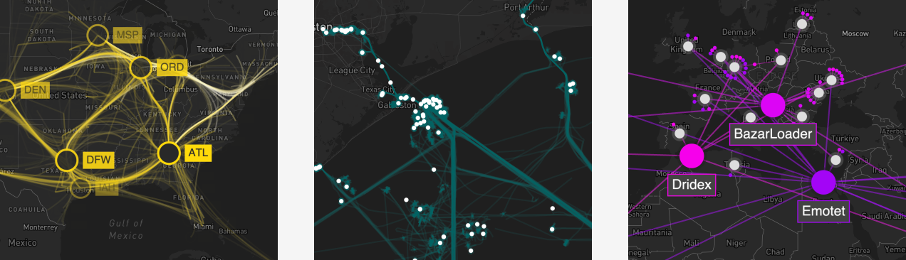
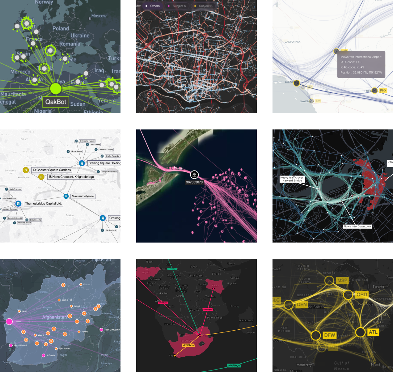
Take a look at the Showcases and Examples to see what you can build with the first release. All the examples can be opened in the Playground, where you can change the code directly within the page. We've also created a Getting Started guide so you can get up and running with your first MapWeave application.

Known Issues

  • Special characters aren't currently displayed on node labels. Please use ASCII characters 32-128. Fixed in 0.8.

What's Next?

We'll be making regular point releases during the early access period, so keep an eye on the release notes. We'll do our best to avoid significant breaking changes, but this is early days for the API so there may be situations where we do need to make changes. We'll always document any breaking changes in the release notes.

As well as priority fixes and documentation improvements, next we'll be addressing:

  • Quality of life improvements, such as a 'zoom to fit' API.
  • Features for summarizing and aggregating large quantities of observations data.

But this is your early access program - so please do let us know what features or improvements would help you get the most out of the toolkit by contacting [email protected].


0.6

Features

  • Made changes to behavior of pinned nodes during drag.
  • Added a number of new developer examples.

0.5

Features

  • Made various improvements to the SDK site design and navigation.
  • Made improvements to the code playground.

Bugs Fixed

  • Fixed some issues relating to the display of tracker nodes.

0.4

Features

  • Streamlined the NetworkLayerOptions API.
  • Made various improvements to the observations layer showcase demos.

0.3

Features

  • Created the first version of the SDK site.

Bugs Fixed

  • Fixed an issue where pinned nodes were not retaining their position during zoom.

0.2

Features

  • Added the React API.
  • Made various showcase improvements.
  • Added a number of developer examples.

0.1

Features

  • Added the first versions of adapters for Mapbox and MapLibre.
  • Created the first versions of the network, observations and GeoJSON layers.
  • Added labels on links to the network layer.
  • Added tracker nodes to the observations layer.